


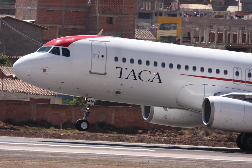
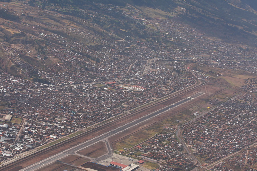
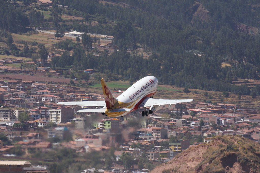
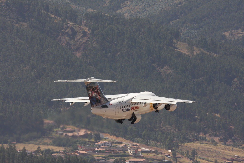
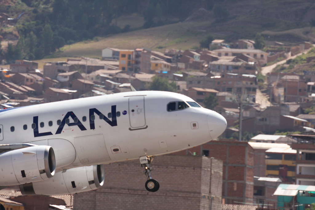
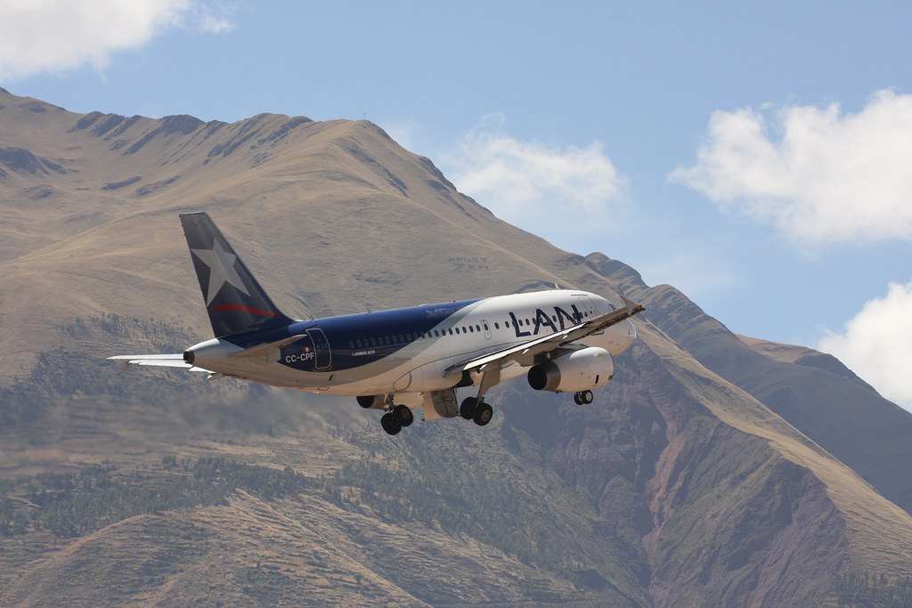
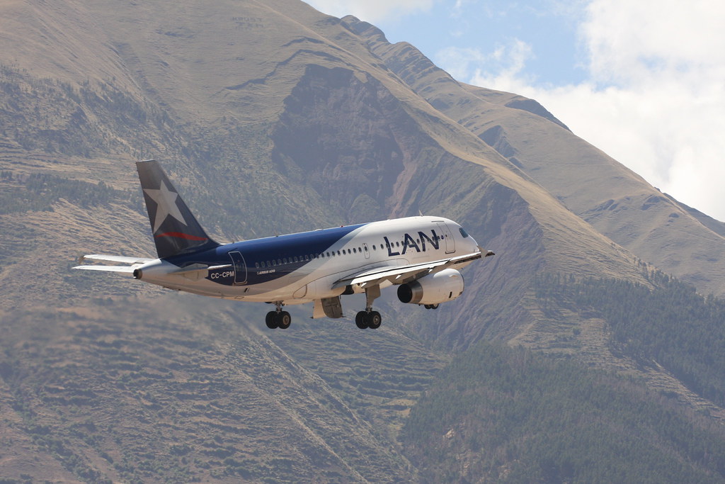
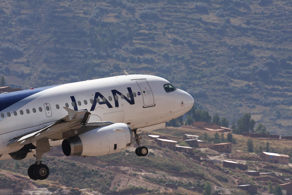
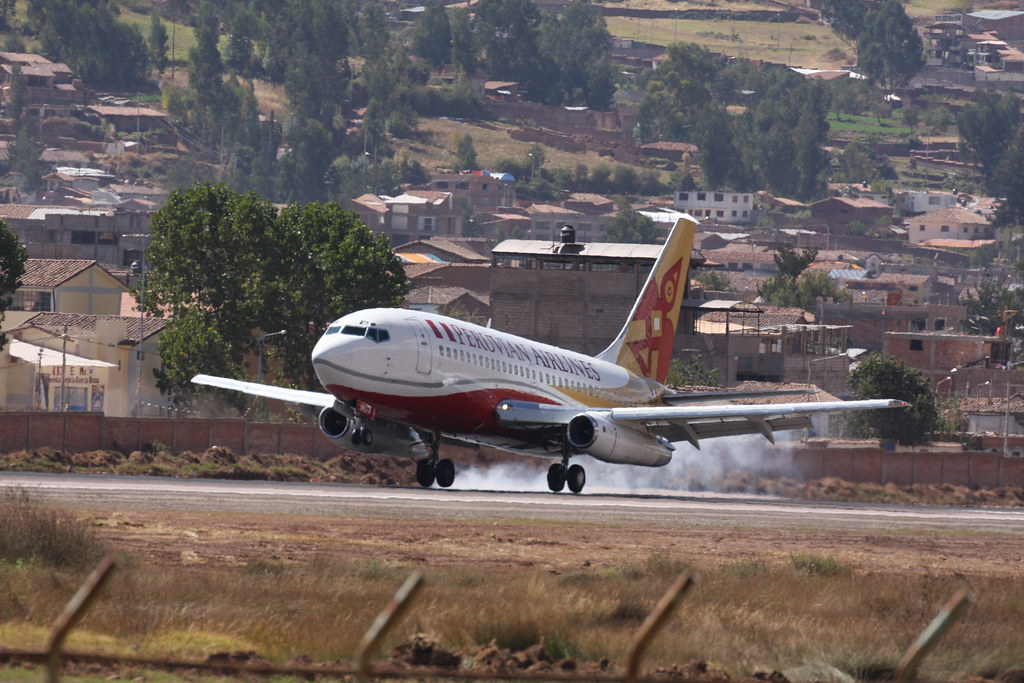
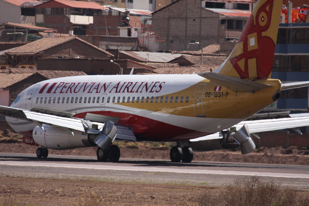
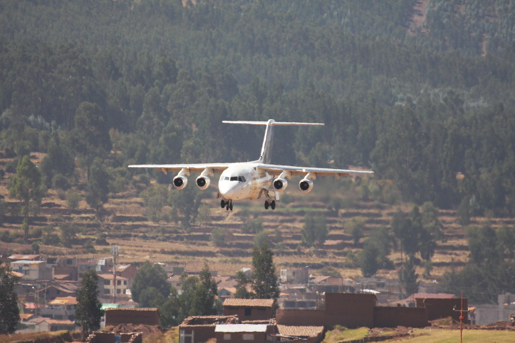
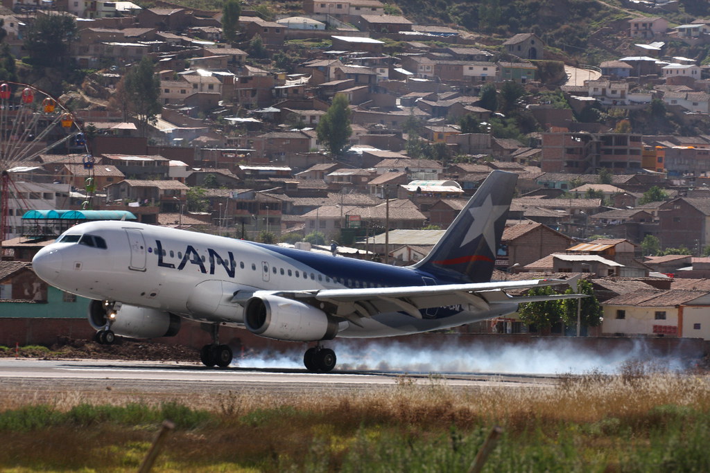
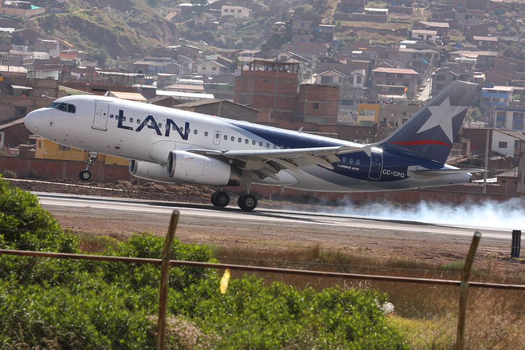
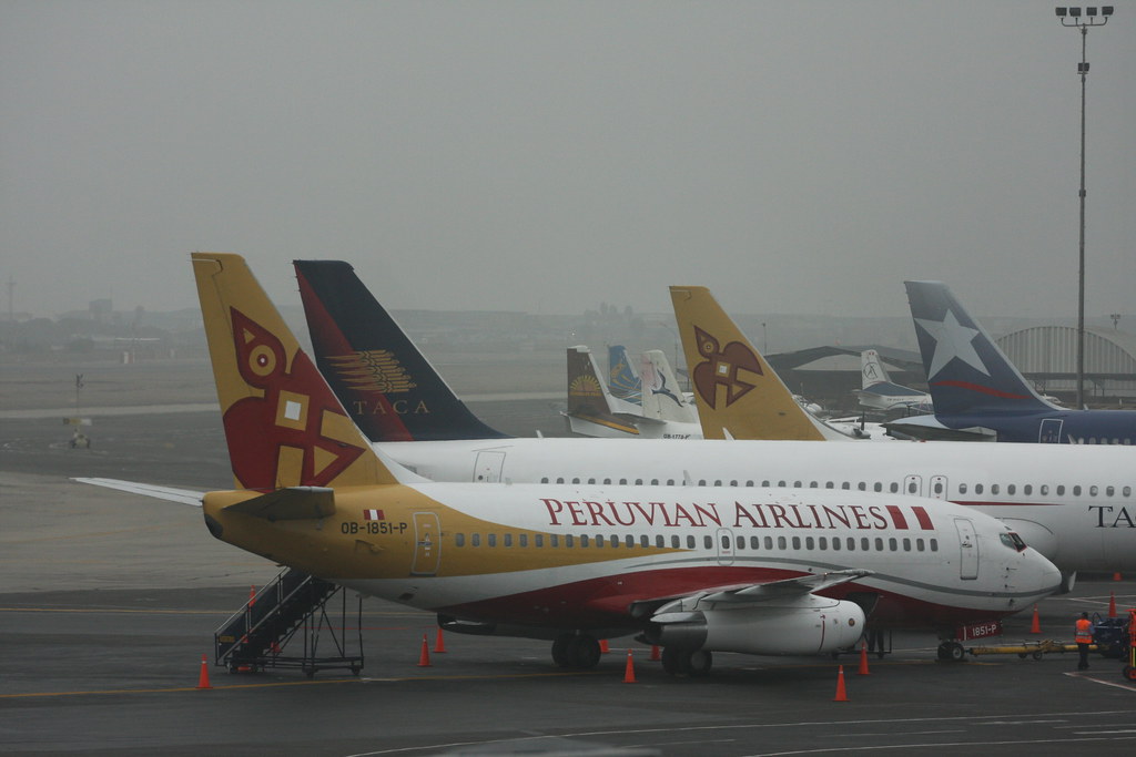
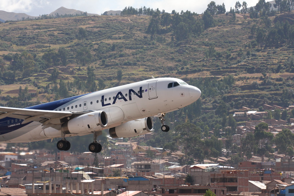
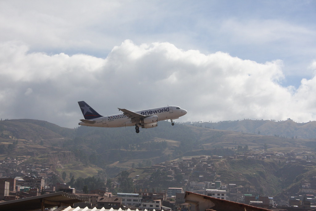
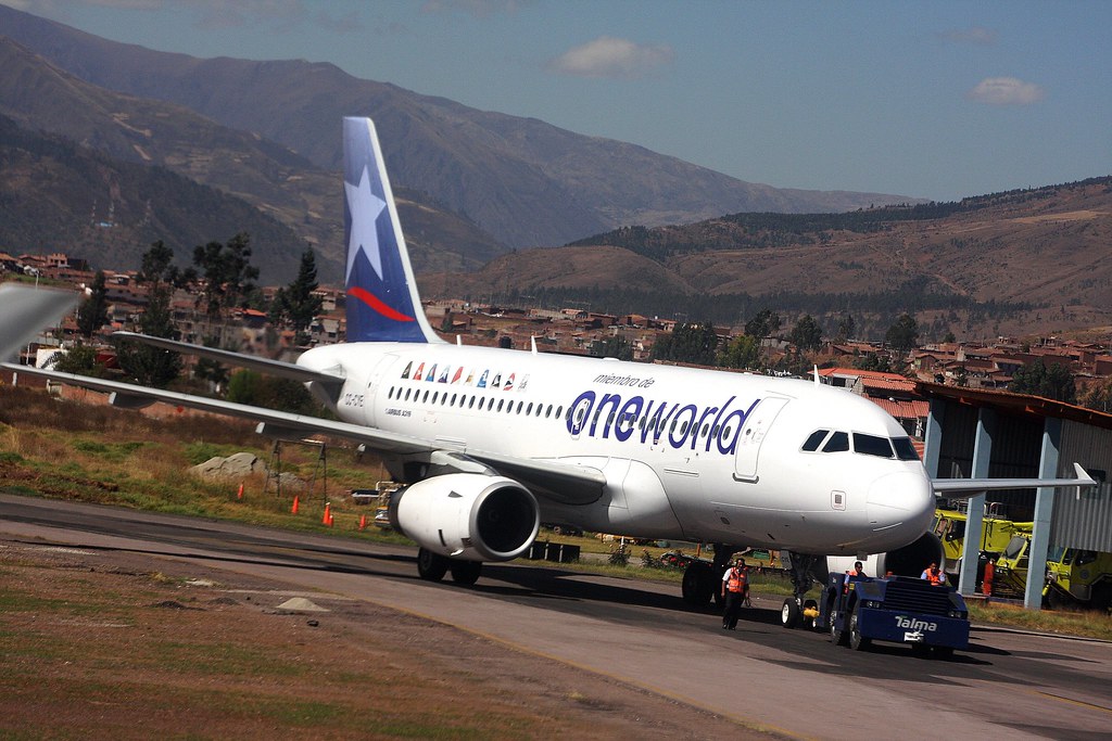
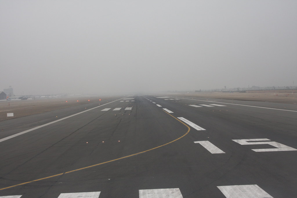
Just a handful of shots from last week's excursion south of the Equator. Most were taken at Cusco's Alejandro Velasco Astete International Airport (IATA: CUZ, ICAO: SPZO). The airfield is located in the city of Cusco, in southeastern Peru. Cusco, a principal tourist attraction in Latin America, receives various domestic flights as well as some international flights. LAN, Peruvian, Star Peru, and TACA are frequent visitors. Field elevation is 10,800 MSL. (check the altimeter of the LAN A319 below) The single runway (10/28) is paved and is 3400 meters (11,155 feet) long and 45 meters (148 feet) wide. There are currently two taxiways; A and B. C is under construction, and once complete, will eliminate the need to back-taxi the runway for departures. Operations are strictly VFR, due to the extreme terrain. PAPI (R) provide glideslope guidance. Airport operations are between 600 and 1800. Typically, aircraft here will land 28 using a left hand pattern abeam the numbers about 2 miles south of the field and depart 10 straight out, making this unique for spotters; one does not need to move to capture BOTH takeoffs and landings up close!
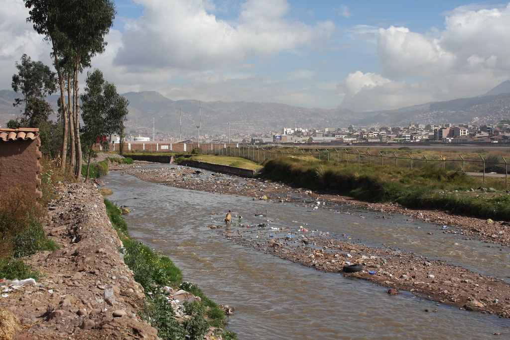
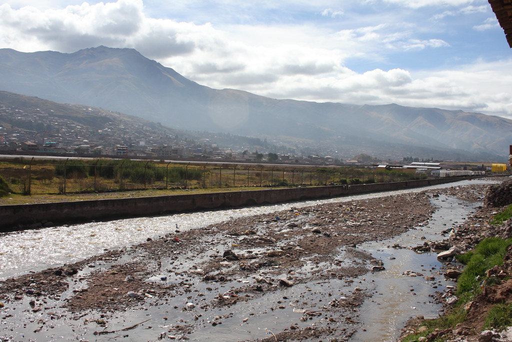
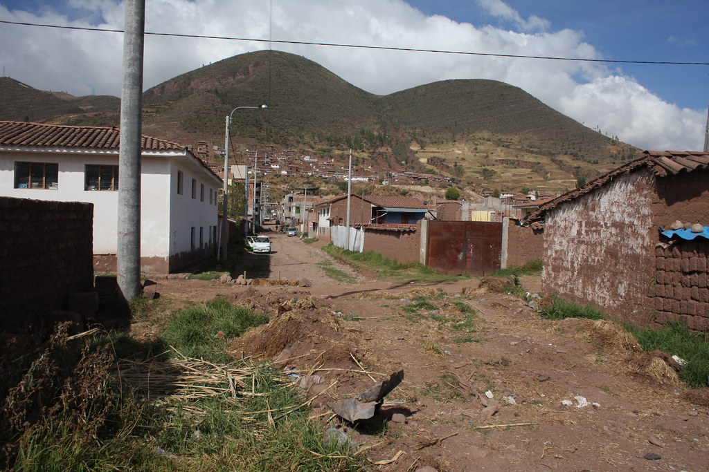
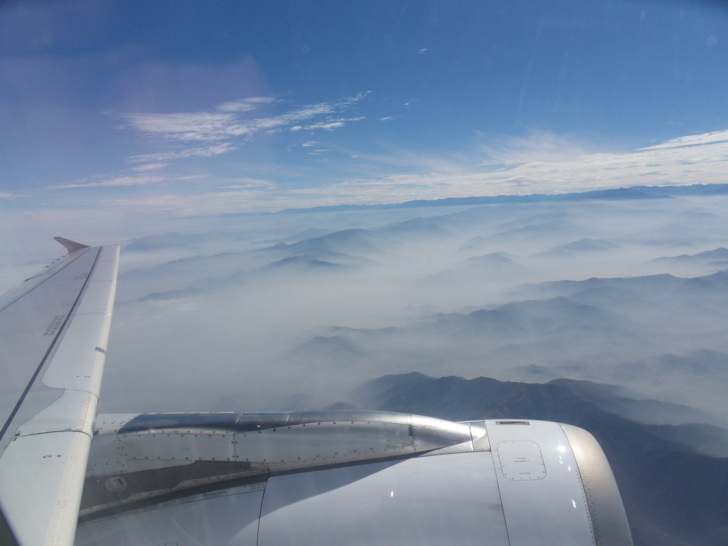
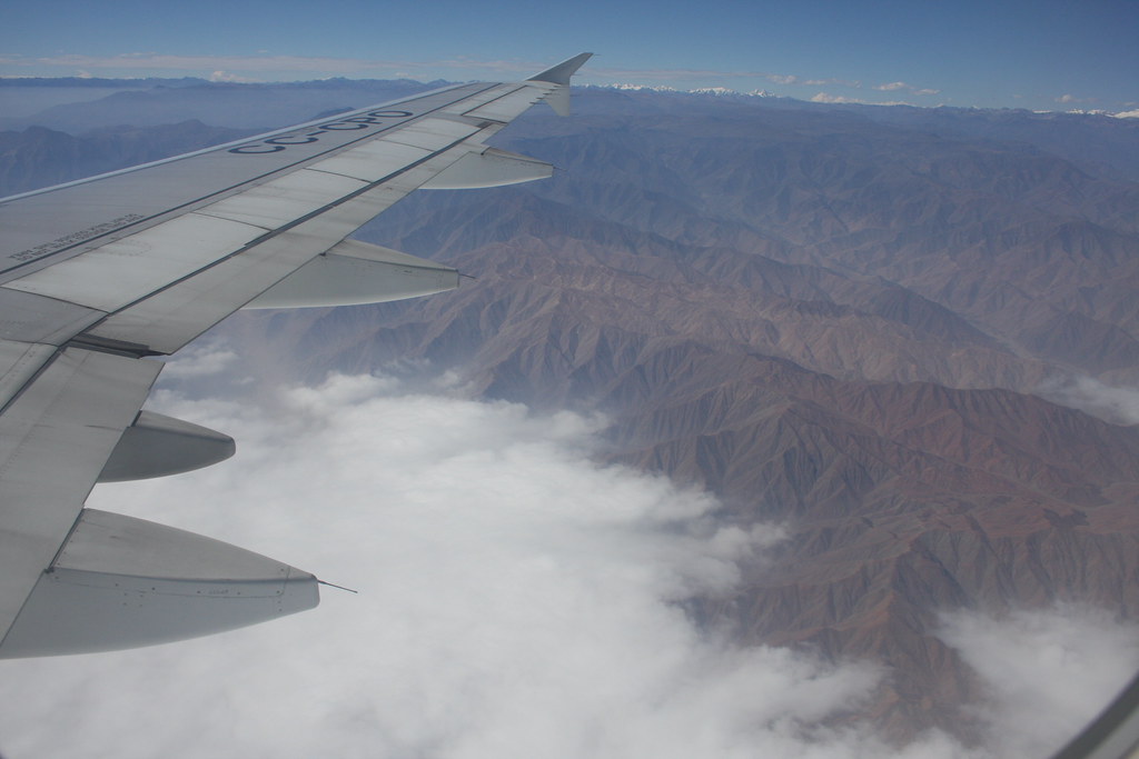
Now, finding that location was a challenge... The airport is surrounded by a 10' or so high wall. (does it really matter... I cannot see over it of through it. 'nuff said). I took a cab from my hotel to the aeropuerto, and got dropped off at the terminal curbside. Having received absolutely zero guidance from the rather cold airport security personnel and employees, decided to exit the terminal area and walk eastward. Lo and behold, I discovered that that wall ends at the PetroPeru fuel terminal, located south of the runway, and approximately 800 meters east of the terminal building, which sits pretty much midfield. A chain link fence continues the function of static border patrol from the fuel terminal all the way to the 28 threshold. All that was necessary was to walk through a residential neighborhood to the end of a dead-end street somewhat abeam the touchdown markings of rwy 28, and perch myself atop the banks of a creek that surrounds the airport to the south. My vantage point was now above the barbed wires atop the fence. Several attempts at very broken Spanish convinced the locals that I worked for the airport, and I was free to enjoy the morning's activities without arousing any suspicion. The only caveat was a construction zone directly in front of me, which did obstruct the runway. (but not the activity). A look about 30 degrees to my left saw rotation, and 40 degrees to my right saw tires burning. If couldn't get better than that. From the aerial photos, you can see the round white fuel tanks I was talking about. They sit right at the point where the creek turns to flow parallel with the runway. Well, enjoy!
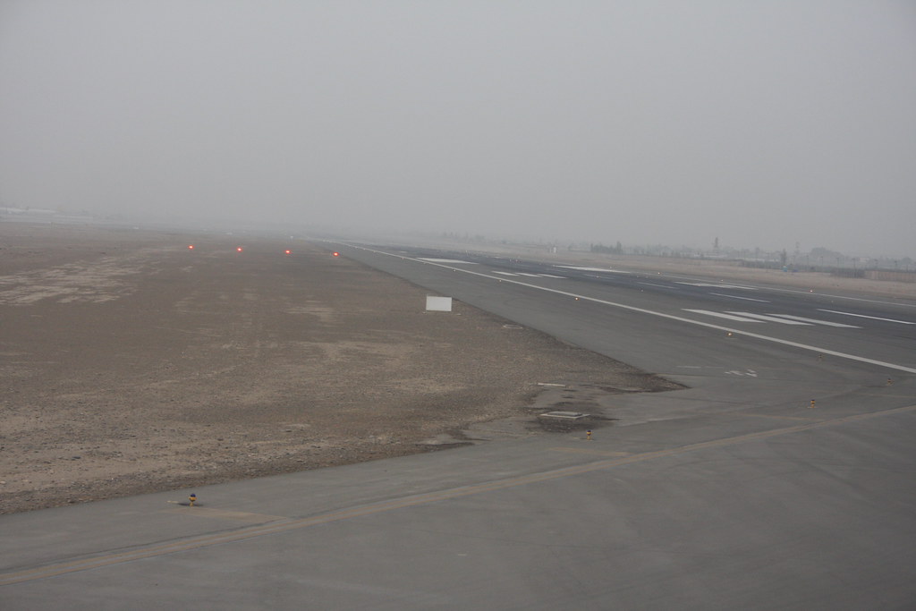
nice road, huh?

 Reply With Quote


Bookmarks